Könyvtár - Intézeti kiadványok
Kocsis K. (ed.): South Eastern Europe in maps
| Szerző / Szerkesztő | Kocsis K. (szerk.) | 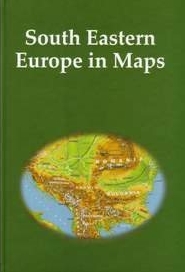 |
|---|---|---|
| Cím | South Eastern Europe in maps | |
| Megjelenési adatok | Budapest, Geographical Research Institute MTA, 2007. 136 p. 2nd, revised & expanded ed |
|
| ISBN | 978-963-9545-13-7 | |
| Sorozat | InMaps | |
| Ár | 3000 Ft |
Over the past fifteen years the explosion of the "Balkan powder-barrel" shocking the European continent deeply i.e. the fanning of ethnic-religious tensions (suppressed for several decades) into regional conflicts and warfare renewed traditional interests of the European public towards the countries of Souh Eastern Europe (the former member republics of Yugoslavia, Albania, Bulgaria and Romania).
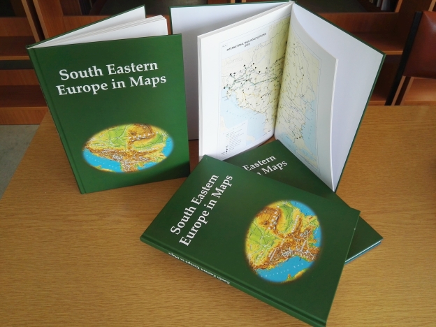
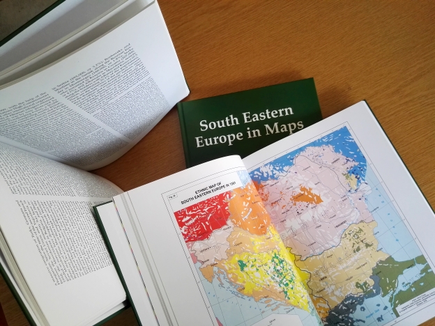
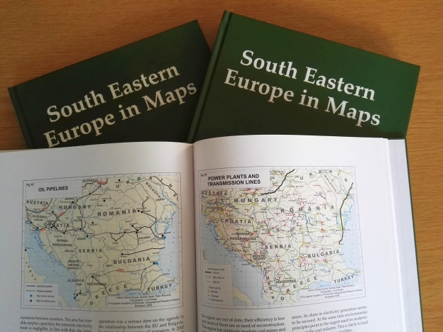
There has emerged a necessity to publish an atlas in the form of a book or a book combined with an atlas in which a large number of attractive thematic (physical, political, ethnic, religious, economic) maps, charts, tables completed by concise textual analyses provide explanation for the up-to-date societal and economic issues of South Eastern Europe and the most characteristic segments of the region's development in the 20th century. The publication produced in the Geographical Research Institute of the Hungarian Academy of Sciences (Budapest) serves as a brief account for public and scientific audiences and political decision makers on the region which largely belongs to the Balkans, with some countries as the primary targets of the enlargement of the European Union. The chapters are entitled by the main topics figuring in the book: the concept of South Eastern Europe and the Balkans; natural environment; territorial distribution by states; ethnic and religious patterns; urbanization and town network; the standard of economic development; spatial disparities; industry; energy; agriculture; transport; and tourism.
A kiadvány letölthető az InMaps sorozat bemutató oldaláról.
További kiadványaink


Közlekedésbiztonsági kockázatok a településkörnyezetben
Tovább a kiadvány oldalára


