Library - institutional publications
D. Karácsonyi - K. Kocsis - Zs. Bottlik (eds.): Belarus in maps
| Author / Editor | D. Karácsonyi - K. Kocsis - Zs. Bottlik (eds.) | 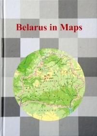 |
|---|---|---|
| Title | Belarus in maps | |
| Publication data | Budapest, Geographical Research Institute CSFK MTA, 2017. 194 p. | |
| ISBN | 978-963-9545-52-6 | |
| Series | InMaps | |
| Price | HUF 3000 |
The Republic of Belarus, one of the larger European successor states of the Soviet Union, first appeared on the political map of Europe in 1991. Even today, Belarus is barely known to many European citizens, and the sporadic information provided by the media is not always free of bias. Several factors, however, indicate that Belarus deserves greater attention. The country lies in the buffer zone between two huge cultural realms that have clashed several times during recent centuries, leaving a lasting impact on the people, landscapes and heritage of the region. Belarus remains a transit country of geopolitical importance: viewed from Russia it is a window to the western part of Europe, while looking from the other side it is a gateway to the East. Belarus is also a country in transition, seeking its own development by means of a unique economic model that is based on the political and economic power of a centralized state. So far, Belarusian model has proved remarkably successful.
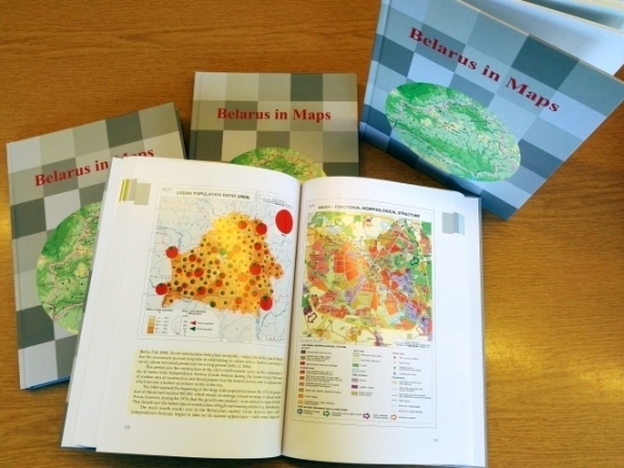
Recognizing the need to provide a factual, up-to-date and comprehensive overview of Belarus for both the scientific community and the broader public, Hungarian geographers commenced a complex research program in close co-operation with fellow geographers in Belarus. The result of their collaborative efforts is this atlas, which constitutes a further addition to the "in Maps" series initiated by the Geographical Institute of Hungarian Academy of Sciences in 2005. Like its predecessors, Belarus in Maps combines the features of a book and an atlas. The ninety-eight full-color maps and diagrams are complemented by authoritative explanatory texts written by a distinguished team of contributors from both countries. Beyond the usual topics of physical and human geography, separate chapters address issues of specific importance for Belarus, offering insights into the ethnic processes that led to the emergence of the Belarusian nation, the background to the Belarusian economic model, and the lasting impact of the Chernobyl disaster.
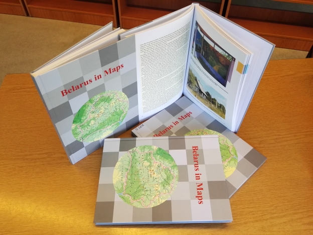
Available in both printed and electronic form, Belarus in Maps is destined to serve as an abundant source of information about the country and as a standard reference work for many years to come. The atlas may also function as a kind of "business card" for Belarus, familiarising people around the world within this fascinating young country.
A kiadvány letölthető az InMaps sorozat bemutató oldaláról.
Other publications


A magyarországi távközlés fejlődésének történeti térpályái
More information

